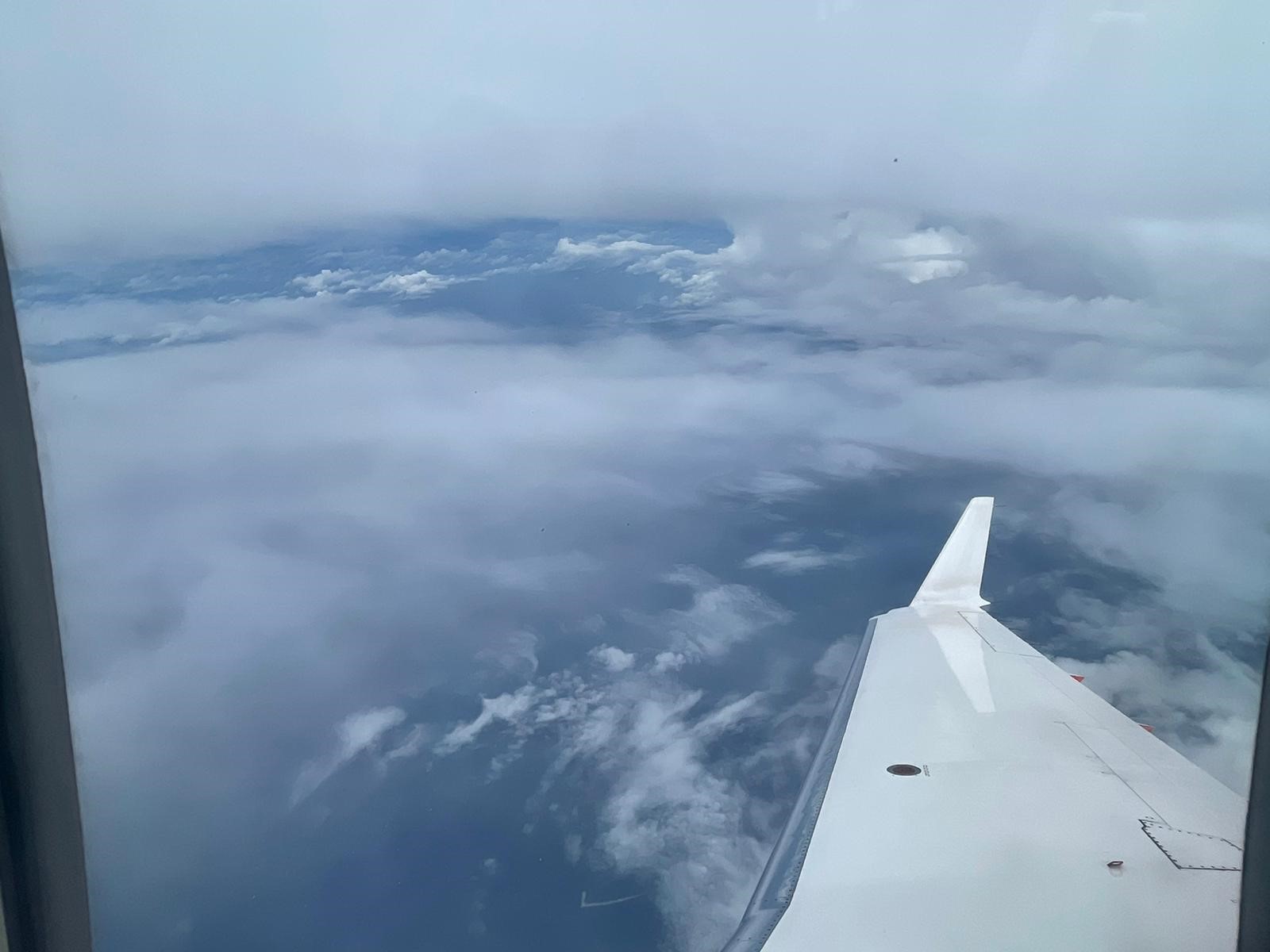
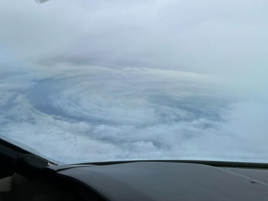
Hong Kong is situated in a tropical cyclone-prone region in the Asia-Pacific. Every year, from May onwards, tropical cyclones form over the Pacific Ocean and can impact Hong Kong with varying degrees of intensity. Accurate meteorological measurements are crucial in predicting the strength and direction of the cyclones and providing forecasts and warnings to the public. Essential information, such as temperature, wind, air pressure, and humidity throughout the cyclone, is required. However, tropical cyclones are dangerous storms, making it difficult and hazardous to gather data from the inside. One way to obtain this information safely is by using dropsondes.
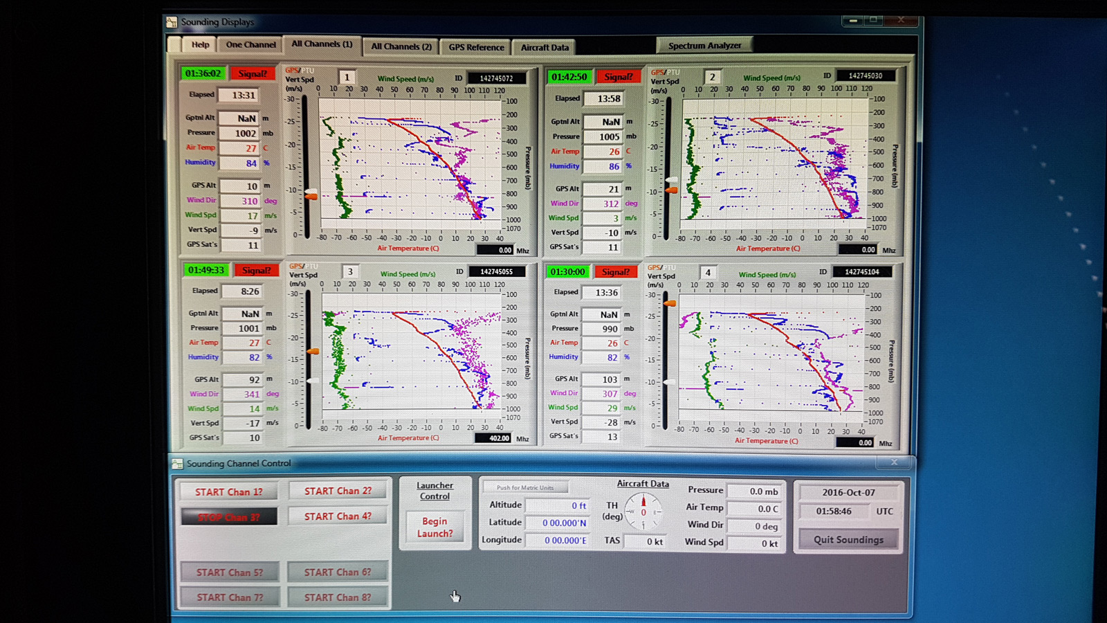
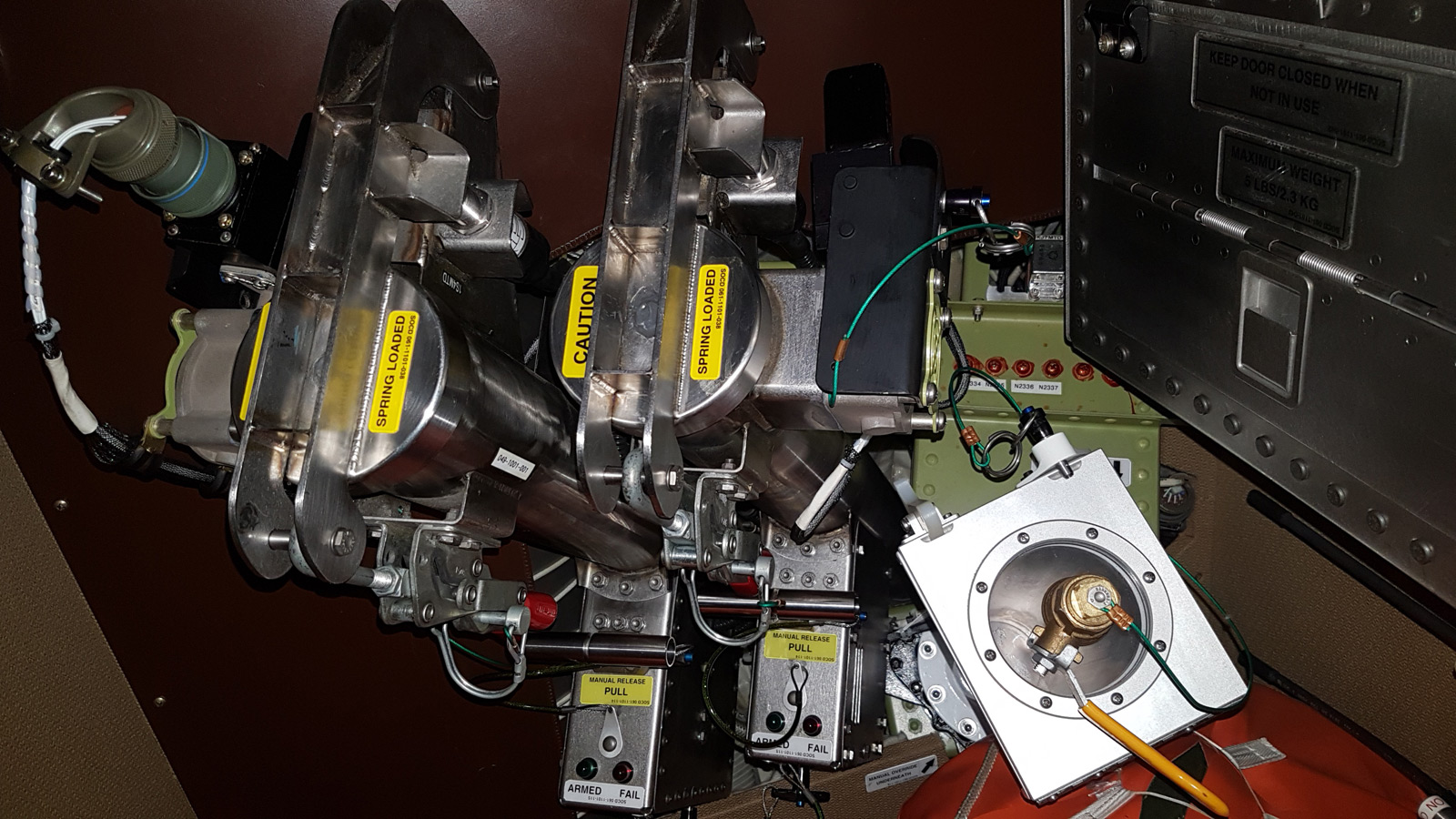
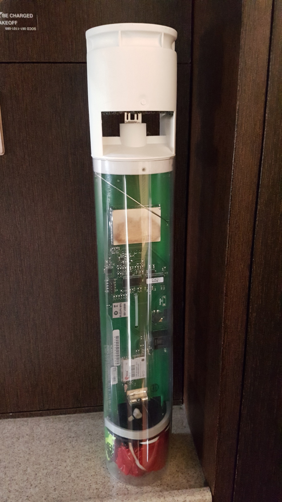
A dropsonde is a weather device that is packed with instruments and sensors and is attached to a small parachute. It is designed to be dropped from an aircraft at high altitudes and fall slowly to the surface while collecting data. During the descent, the location and metrological data are collected and sent back to the aircraft by radio transmission.
The dropsonde mission is a collaboration with the Hong Kong Observatory (HKO), which began in 2016 aiming to enhance and improve tropical cyclone monitoring near Hong Kong. The first mission was flown in September 2016 when Typhoon Megi passed through the northern part of the South China Sea.
When tropical cyclones enter the South China Sea and may affect Hong Kong, fixed-wing aircraft Challenger 605 will be deployed to collect meteorological data upon request by the HKO. A typical dropsonde flight will release roughly 10-15 sondes within the Hong Kong Flight Information Region (FIR), with each flight lasting about 3 hours.
These dropsonde missions provide critical data that helps the HKO make accurate forecasts and warnings of tropical cyclones, enabling the public and authorities to take necessary precautions and ensure safety during a storm. While collecting data from inside tropical cyclones is dangerous, dropsondes offer a safe and effective way to gather essential information, helping to enhance our understanding and management of these powerful storms.